Exploring for natural gas and oil
How do we find valuable fossil fuels? Chris Klemm's engineering students at Northland High School went exploring for natural oil and gas recently, within the classroom. Klemm used activities from the Exploration unit in Ohio Oil and Gas Energy Education Program's STEM curriculum.
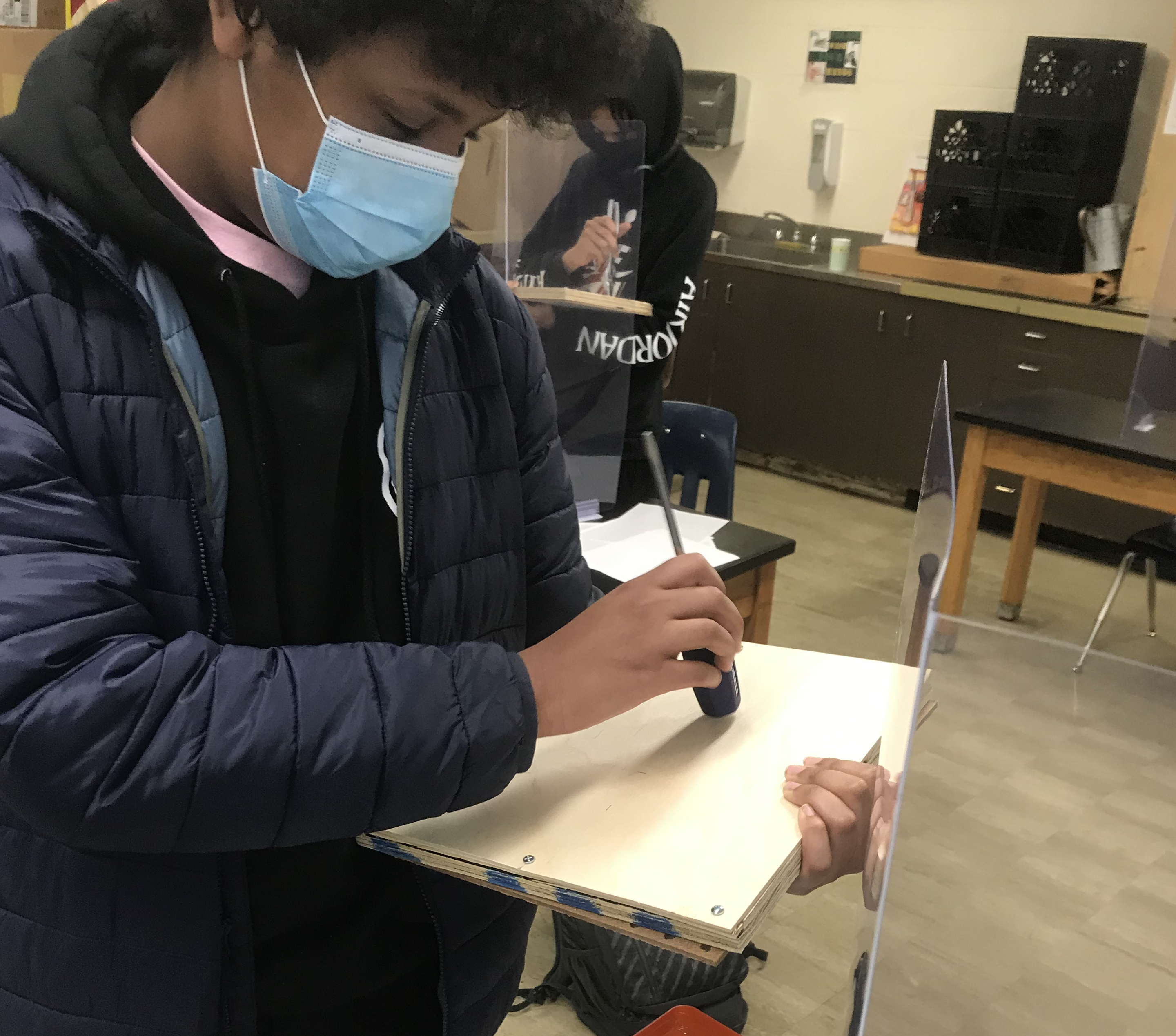
Klemm created Sound Boards, allowing students to use sound waves to locate holes beneath the surface board. The idea is for students to knock on the board and listen for a hollow sound over the holes—much like geologists do with seismic geophones. "I had a hard time finding balsa at first. Some of the boards are made with very thin craft plywood instead of balsa. They are too hard to get a good reading," he cautioned.
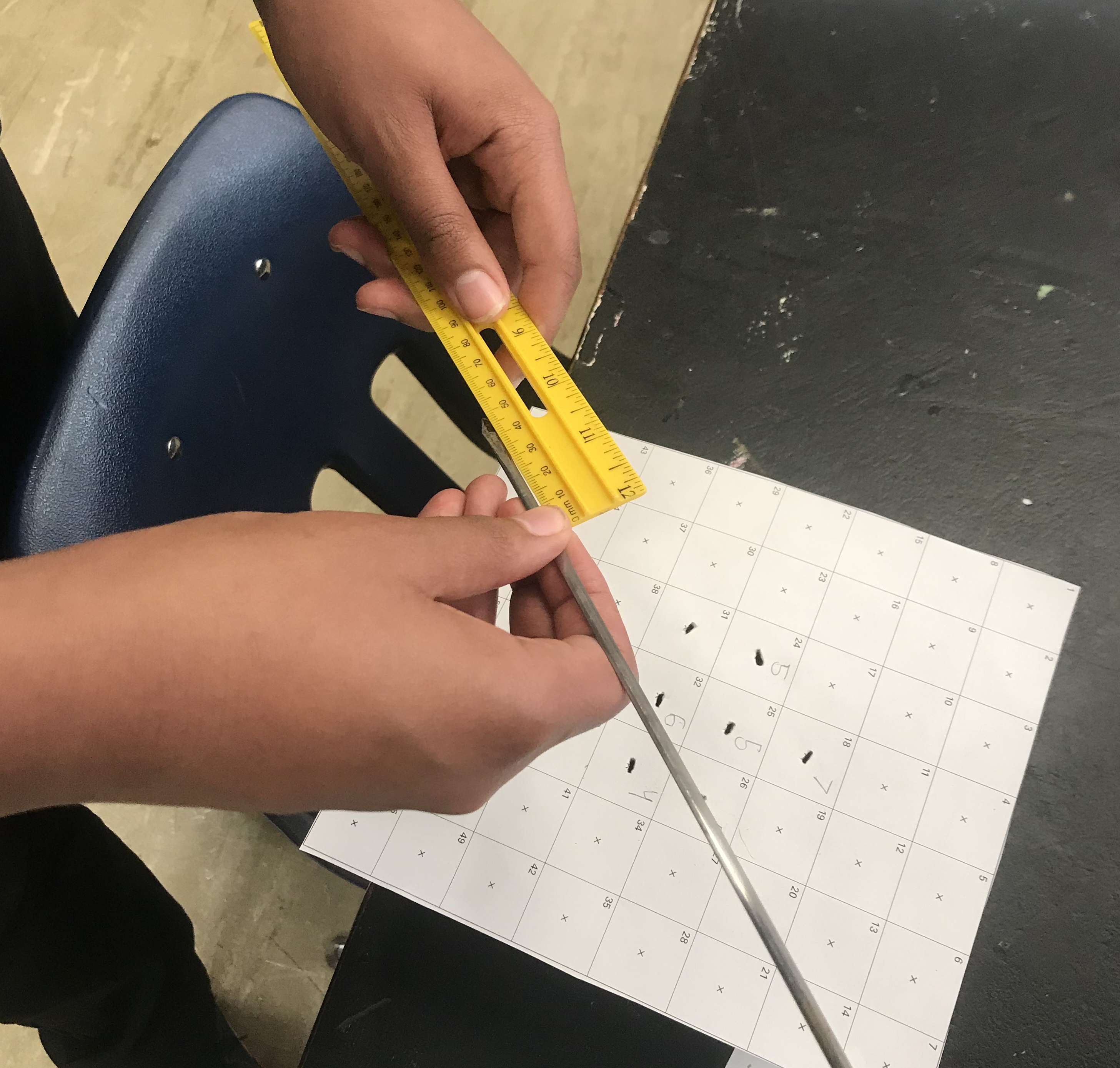
"All students were conscious of the cost of drilling a well and most were confident in finding a reserve even if the test well failed to find the oil. They were able to zero in on the largest cavity and had more difficulty finding smaller reserves," Klemm said. His students had some success in finding the margins of the fields and drew contour maps that were fairly accurate.
"The students enjoyed relating the discovery of oil reserves to making money. We stressed that there is financial risk and also potential to have a high pay off. They had fun comparing their success and occasional failure. This was a wonderful learning activity where students were able to have some friendly competition!"
Next, Klemm's students performed the Skewer Contour Mapping activity, answering the question, "How can you map what you cannot see?" All students were able to understand that mapping layers of rock allows explorers to identify the ages and types of strata where oil, coal, and gas are likely to be found. "Contour mapping is important because it helps with locating oil in order to get it out" and "[This helps geologists] understand how far down these deposits are,” students commented. All students’ responses were similar in that they understood geologist were looking for specific layers that were likely to contain oil, coal, and gas deposits.
Students were able to relate these activities to real-world techniques such as seismic sounding and drilling for core samples. They understood that current computer technology has made seismic sounding and sensing extremely accurate. GIS (GPS) satellite data has revolutionized mapping and drilling as well as farming, city planning, ecology and many other fields. "Included in the discussion were gravimetric data (particularly useful where there are large salt deposits), magnetics (aircraft), and electromagnetics (georadar). Most methods utilized on land were also used in water environments with the help of additional equipment such as ships and drilling platforms," Klemm said.
Klemm found the teacher workshop helpful for his classroom lessons. "My students enjoyed these activities and we will be using more of them in the future." Don't miss your chance to attend these useful workshops and receive free supplies and more! Check the OOGEEP website for upcoming events!